
Sources for Flagstaff Neighbors
A block lookup begins with visible land units. Flagstaff GIS shows the focal parcel and nearby polygons. The Coconino County Assessor connects each parcel number to the tax owner, situs address, and mailing destination. Recorded plats and deeds define legal lots and title parties. Historical street guides may list a past resident or business by house number. Neighborhood pages add public leaders and meeting contacts. None is a complete current household directory.
| Source | What It Shows About a Block | Access |
|---|---|---|
| City and county GIS | Parcel geometry, adjacent lots, and district context | Free maps; informational, not a survey |
| Coconino Assessor | Tax owner, mailing address, situs, value, and parcel facts | Free public property portal |
| Recorded plats and deeds | Lot and block lines, easements, and title parties | Web index, images, and Recorder counter |
| Historical street guides | Listed residents or businesses by street and house number | Selected library and digitized years |
| Neighborhood Resources | Association leaders, meetings, and public contact routes | Public organizations, not member rosters |
| Arizona voter file | Registration address fields for authorized purposes | Restricted by A.R.S. §16-168 |
Ownership and occupancy are not synonyms. A tax mailing address may be a post-office box, entity office, or another correspondence point. Even when it matches the situs, the roll does not prove who is physically present today. Renters, minors, and other household members usually will not appear. The defensible claim is that a named party owns or receives tax mail for a parcel, not that the person is necessarily one of the current Flagstaff neighbors.
Click Around Flagstaff Neighbors
The Coconino County interactive parcel viewer supplies Map Layers, Search, Measurement, Select Parcels, and Parcel Report tools. Search the focal address, zoom until parcel lines can be read, then click the polygons to the north, south, east, and west. Curved roads, corner lots, alleys, and condominium parcels can make visual proximity differ from legal adjacency. Record each APN, or assessor parcel number, before leaving the map.
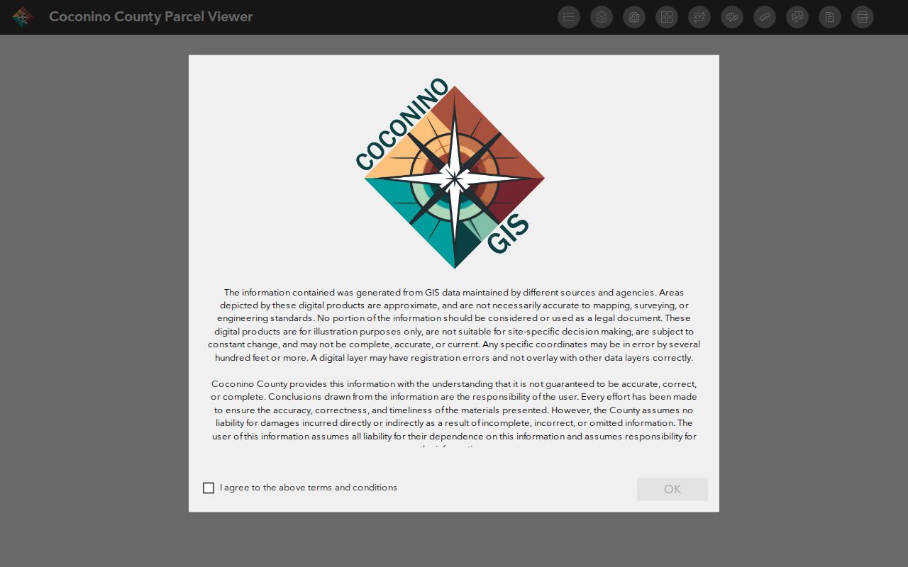
The viewer makes a small, defensible set of nearby parcels easier to build. The research found no stable public documentation for a radius export, so a promised buffer search would be unsupported.
- Search the known Flagstaff address and select its parcel.
- Zoom until all immediate parcel edges and labels are clear.
- Click each adjoining polygon and note the APN and situs.
- Carry each APN into the Assessor rather than copying names from the map.
- Check a recorded plat when the precise shared boundary matters.
Flagstaff Neighbor Parcel Fields
The county's public feature layer deliberately exposes a narrow set of map fields, including APN, Tyler account, situs city, and parcel geometry. Owner and mailing fields are not part of that layer. This design creates a useful two-step lookup: use the map to identify the parcel, then use Coconino County Assessor Public Access for the tax roll. It also reduces the risk of treating a map label as proof of an occupant.
The Coconino public parcel layer documents the visible service fields.
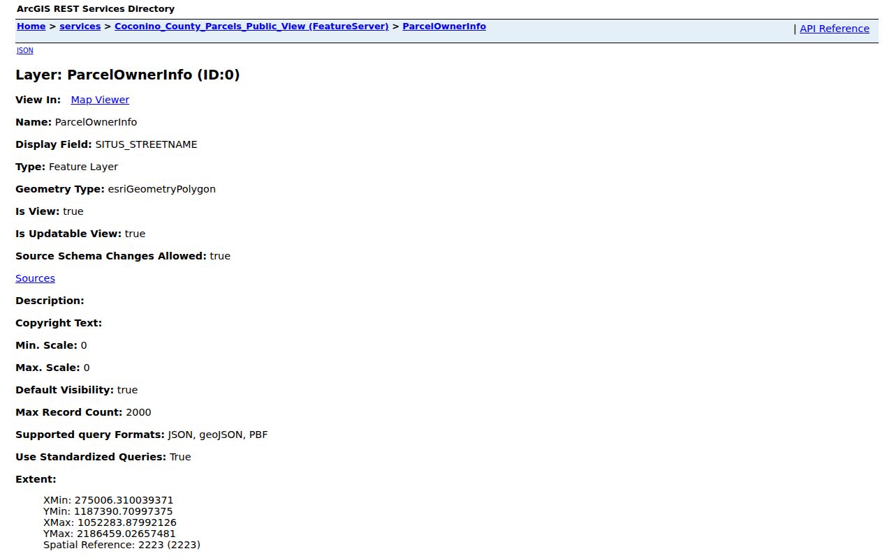
The captured field list shows why APN is the clean bridge between a block map and the official assessor roll. For a full named street rather than only the immediate parcels, the Flagstaff street directory carries the longer address chain.
Map a Flagstaff Neighbor Block
After parcel IDs are collected, the Assessor identifies the recorded tax owner, mailing destination, situs, legal description, values, and property characteristics. Compare the legal description with the mapped parcel. A vacant lot or common association parcel may lack a residential street number. Condominiums may stack several legal interests at one visible address. Those cases are normal and should not be forced into a one-house, one-household model.
The practical flow is address → focal parcel → adjoining polygons → APNs → assessor records → recorded plats or deeds. If owner and situs align, the match suggests an owner-connected address but does not establish present occupancy. If mailing and situs differ, report them as separate fields. Do not label the mailing location as a prior resident address without another record.
- APN
- The assessor parcel number, a stable key used to carry a lot from GIS into tax records.
- Situs
- The physical address assigned to the assessed parcel.
- Mailing address
- The destination for owner tax correspondence, which may be elsewhere.
- Recorded plat
- An official map that defines subdivision lots, blocks, easements, and related boundaries.
Note: GIS is a research aid, while recorded plats and surveys control legal boundary questions around Flagstaff neighbors.
Meet Flagstaff Neighborhood Groups
The City of Flagstaff publishes an organizational layer for La Plaza Vieja, Sunnyside, and Southside. These are contact and civic participation routes. They are not directories of residents or private association members. Public details include leaders, meeting schedules, places, phone numbers, and links chosen for publication. A missing roster is not a search failure; it is the proper line between civic outreach and household privacy.
The Flagstaff Neighborhood Resources page is the official source for current association contacts.
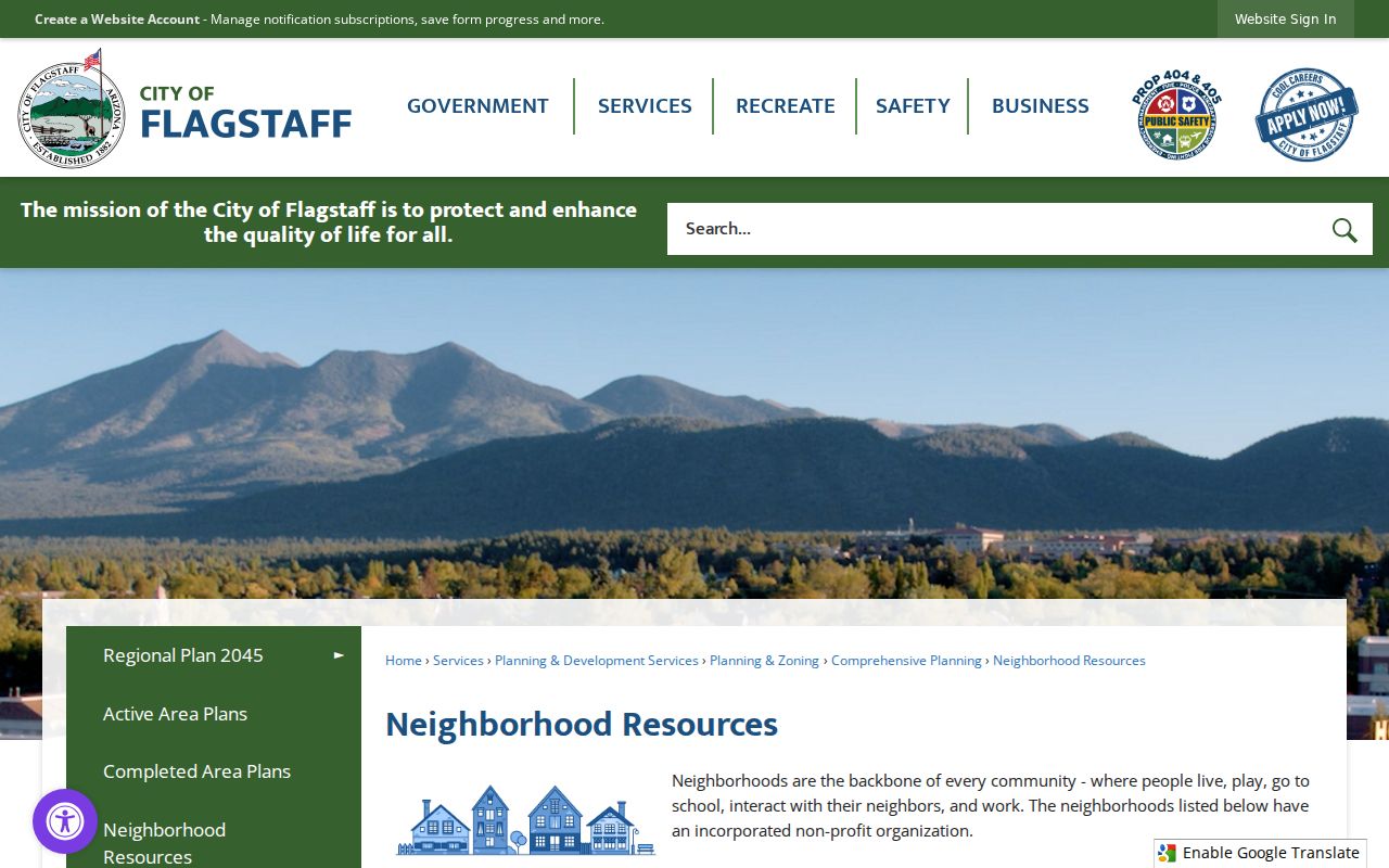
The captured city page directs residents to meetings and public leaders without exposing a block-level membership list.
| Association | Published contact | Public meeting details | Roster status |
|---|---|---|---|
| La Plaza Vieja | Jesse Dominguez and Laura Myers | To be determined | No household roster advertised |
| Sunnyside | Coral Evans, 928-213-5900 | Second Thursdays, 6 p.m., 2304 N Third St | Organization contacts only |
| Southside | Deb Harris, 928-226-7566 | Third Thursdays, 6 p.m., Murdoch Center, 203 E Brannen | Organization contacts only |
Flagstaff Neighbors and Permit Clues
Permits can date visible changes around a Flagstaff block. Typical fields can include an address, owner or applicant at filing, contractor, work scope, valuation, issue or final dates, and inspection events. A permit may explain an addition, demolition, or site change. It cannot show when each neighbor moved in, and a named applicant or contractor is not proof of residence.
The Coconino County permit feature layer offers an address and project record route for county-covered areas.
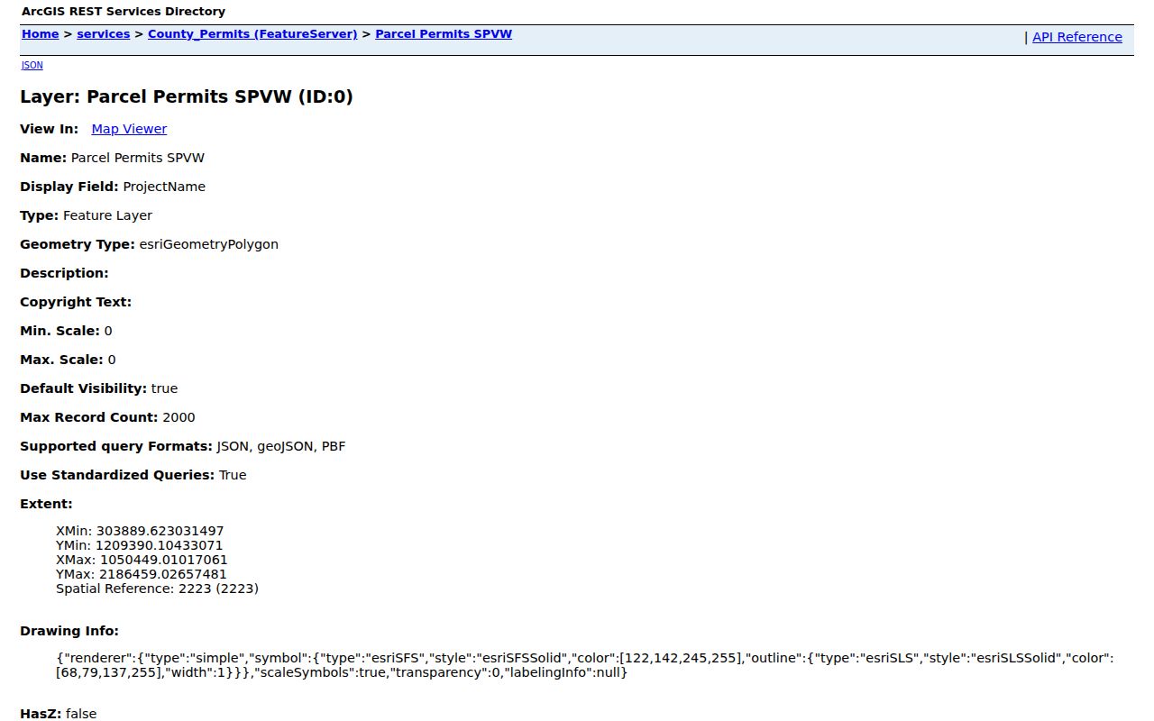
The layer's captured fields add a dated building-event clue after a parcel is known. City and county jurisdiction should be confirmed first because a Flagstaff mailing address can fall outside city limits.
Historic Flagstaff Neighbor Records
Current parcel maps are only one view of a block. Flagstaff's historical property surveys document more than 1,000 buildings through Arizona State Historic Property Inventory forms. Those records add construction, design, and historic context without claiming who occupies a site now. They are especially useful when a block's lot pattern or building use has changed since an older directory was printed.
Street and Avenue Guide sections in Flagstaff directories provide the person layer for selected years. A house number may lead to a listed resident, business, or phone entry, but gaps, optical-character-recognition errors, and changed numbers require page checks. Pair the street guide with a survey form, Sanborn sheet, parcel, and recorded plat. The result is a dated picture of earlier Flagstaff neighbors, not a current household roster.
Voter Limits for Flagstaff Neighbors
Arizona's voter file is not an open neighbor browser. Under A.R.S. §16-168, a permitted file can include a registered name, residence, different mailing address, party, registration date, and early-ballot request or return participation. It never shows votes cast. Use is limited to political, party, campaign or election, redistricting, or another purpose specifically authorized by law. Commercial use is barred.
The public-facing Arizona Voter Information Portal is an authenticated self-service tool for one's own status, districts, notices, ballot-by-mail status, and participation history. Ordinary block research should use parcel and assessor records instead. Sensitive identity fields and email are withheld, while protected voters and Address Confidentiality Program participants receive more shielding.
Lawful use. Research Flagstaff neighbors for civic, family, or personal safety reasons, never to watch, threaten, intimidate, or harass anyone.
Compare Flagstaff Neighbor Sources
Official sources reveal narrower facts than commercial neighbor tools, but each fact has a named custodian and a defined record. Commercial compilations blend tax, marketing, and other data. They may mistake an owner for an occupant, retain stale addresses, omit renters, or join two people with similar names. A paid result does not become more authoritative merely because it is broader.
| Source type | Strongest claim | Main limit |
|---|---|---|
| Official GIS | Where parcel polygons and mapped features sit | Informational map, not an occupancy list |
| Official assessor roll | Who is recorded as tax owner and where mail goes | Does not list every occupant |
| Official association page | Public leaders, meetings, and contact routes | No private member directory |
| Commercial compilation | A broad lead assembled from mixed sources | Source age, joins, and occupant status may be unclear |
For an error in an official record, contact that custodian. Removing a commercial listing will not alter the source at the Assessor, Recorder, or another public office.
Request Flagstaff Block Records
Not every useful block record sits in a map. City police records have a separate public request route, and permit or code files may require a focused request when the online layer lacks the needed document. A request should name the address, parcel if known, record type, and a reasonable date span. Arizona Public Records Law requires a prompt response, subject to privacy, active-enforcement, and other lawful limits.
The Flagstaff and Coconino consolidated police records page explains the local records channel.
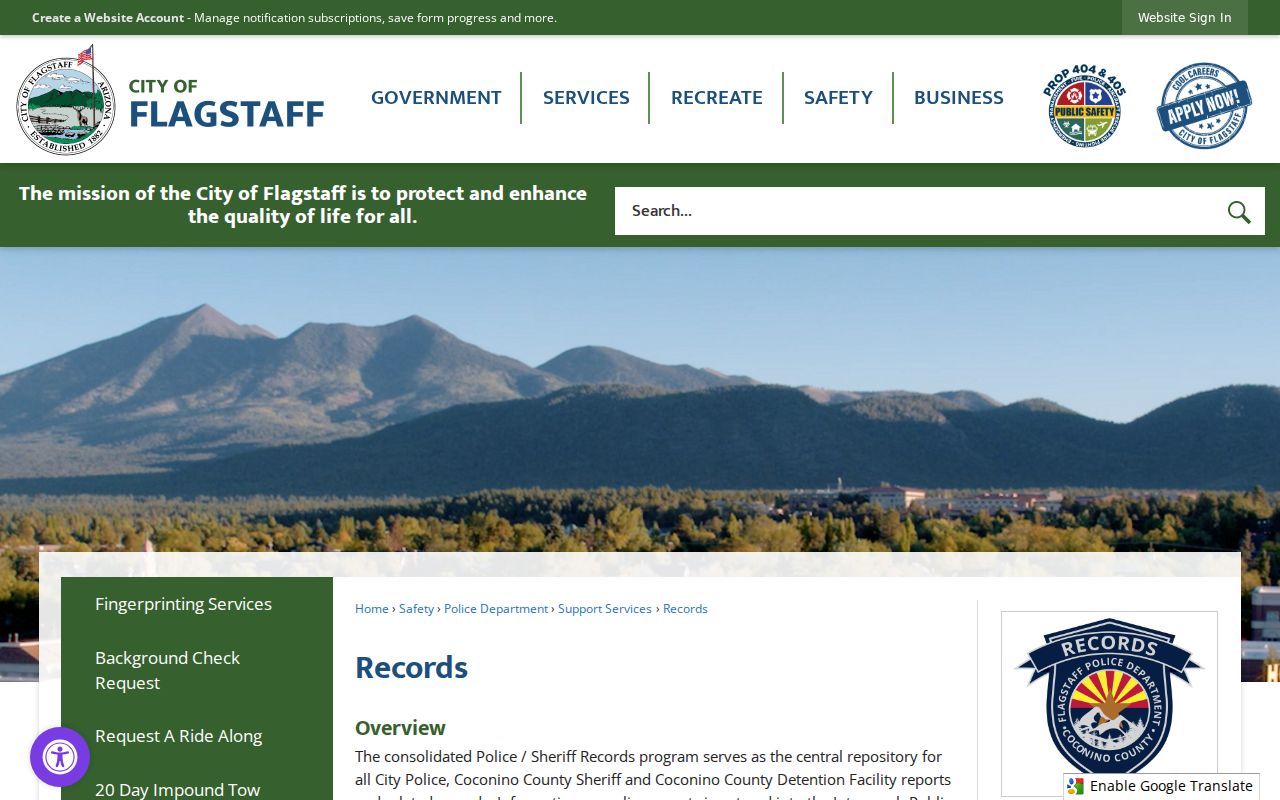
The captured page provides an official fallback when a dated public incident record is relevant. It should not be used to imply that a record exists for every home or person on a block.
Protect Flagstaff Neighbors' Privacy
A neighbor lookup stops where public records stop. Utility and delivery accounts, motor-vehicle addresses, minors, unlisted renters, private association membership, and protected voter fields do not become public because a parcel is visible. The Arizona Address Confidentiality Program gives qualifying victims a substitute address and confidential mail forwarding. Separate redaction procedures can affect Recorder, Assessor, Treasurer, voter, and motor-vehicle records.
Apparent gaps may be intentional safety measures. They should never be filled by guessing from relatives, nearby parcels, or stale commercial data. Respect no-contact requests. Arizona harassment and stalking laws cover repeated contact, surveillance, following, threats, and other harmful conduct. The responsible end point is a source-backed parcel or public organization fact, not a private household profile.
Privacy line. Flagstaff neighbors may be researched only for lawful personal aims. Never publish protected details or use a lookup to harm another person.