
How Flagstaff ZIP Areas Divide
Flagstaff has three verified neighborhood delivery ZIPs: 86001, 86004, and 86005. They divide the city broadly into west and downtown, east and northeast, and south and southwest service areas. The Flagstaff ZIP code directory must also account for 86011, the institutional post-office system used by Northern Arizona University. Codes 86002 and 86003 have special or processing roles, not verified neighborhood coverage, while 86015 belongs to Bellemont and the wider western unincorporated area. A postal name alone therefore cannot settle city jurisdiction.
| ZIP Code | Areas Covered | Post Office | Notes |
|---|---|---|---|
| 86001 | Downtown, west side, and west or north approaches | Downtown Flagstaff | Delivery area exceeds informal neighborhood labels |
| 86004 | East and east-northeast Flagstaff plus some unincorporated communities | Flagstaff Main | Crosses the city line; source area for the 2013 split |
| 86005 | South and southwest along the Lake Mary, Woody Mountain, and 89A corridors | Flagstaff postal network | Created July 1, 2013 |
| 86011 | Northern Arizona University Mountain Campus | NAU PO-box system | Institutional ZIP, not a neighborhood delivery area |
| 86002 / 86003 | Special or processing use | No neighborhood station identified | Verify each address with USPS |
| 86015 | Bellemont and western unincorporated area | Bellemont postal place | Not Flagstaff city proper |
The table describes routing, not legal borders. Downtown Flagstaff Post Office is at 104 N WC Riles Street. Flagstaff Main is at 2400 N Postal Boulevard, with retail hours listed as weekdays from 9 a.m. to 5 p.m. and Saturdays from 9 a.m. to 2 p.m. on the inspected USPS page. Hours should be checked before a visit. NAU uses 1900 S Knoles Drive and a university PO box with the 86011+4 format, which confirms that 86011 is an institutional system rather than a slice of nearby homes.
Flagstaff ZIP 86005 Arrives
Postal growth forced a notable change to Flagstaff ZIP geography. USPS created 86005 on July 1, 2013, shifting exactly 7,505 deliveries out of 86004. The new area took in south and southwest corridors, while 86004 continued to serve the eastern side and some unincorporated Flagstaff-mailing communities. This is a useful date when a family paper, old account, or directory places the same address in a different code.
The official USPS notice for the 86005 change records both the effective date and the delivery count.
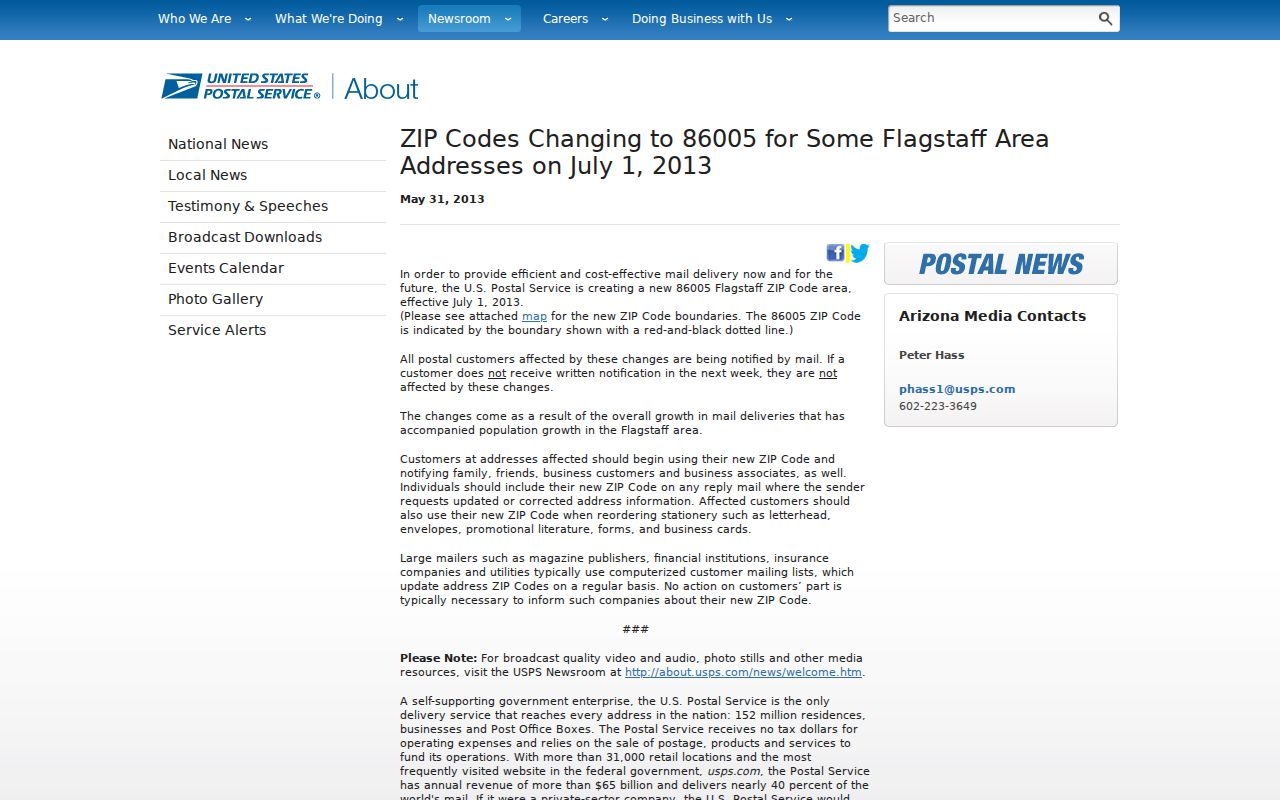
The captured notice makes the split a documented postal event, not a guess based on current map shapes. Old and new ZIP values can both be accurate when tied to the right date.
Verify a Flagstaff ZIP Address
USPS warns that ZIP maps are guides. The authoritative way to check one site is a full-address lookup. Enter the street number, street name, city, and state as they appear on the mail piece. If an older address fails, test standard directional forms and common street abbreviations. The result supplies the current routing code and ZIP+4 when available. It does not say which agency governs the parcel or who lives there.
The USPS ZIP Code Lookup by Address is the direct verification channel.
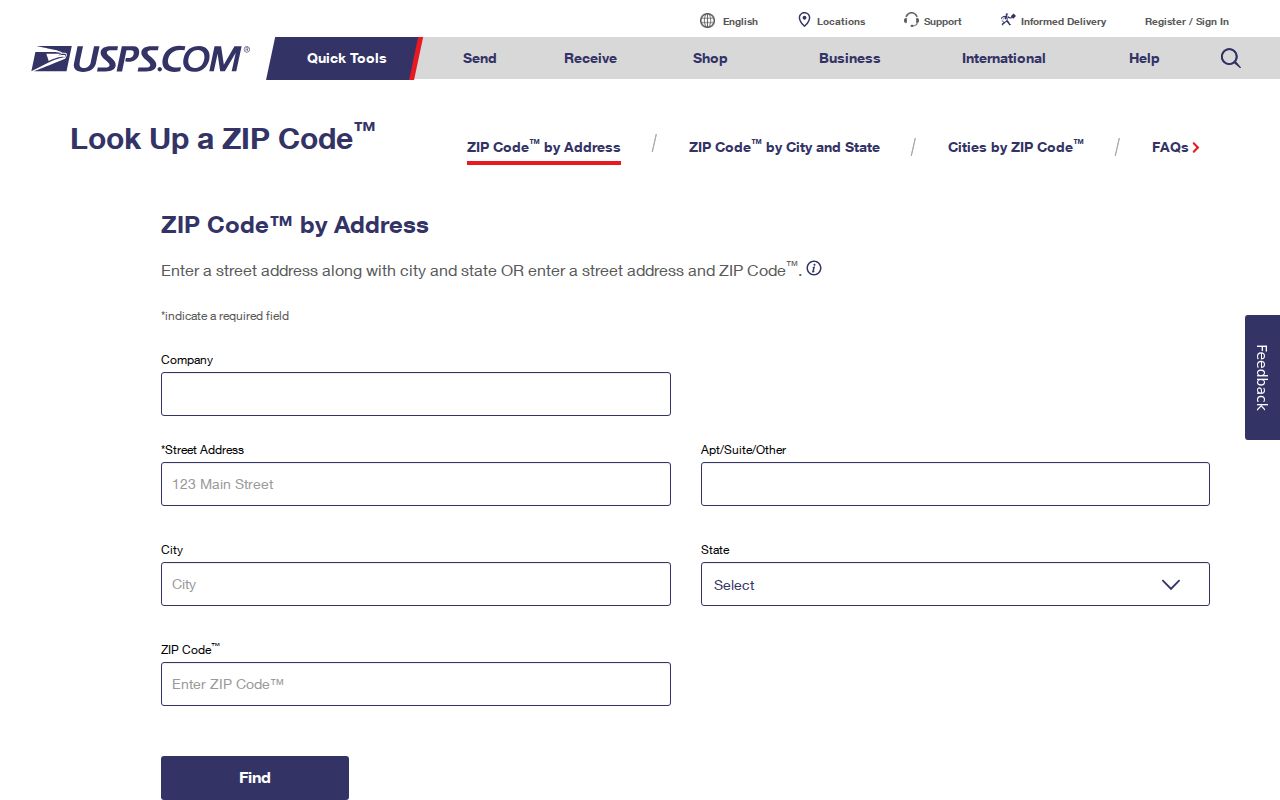
The form is best used before any parcel or resident search. A clean postal address reduces false matches caused by an obsolete code or a guessed mailing city.
| USPS lookup mode | Input | Best use |
|---|---|---|
| By address | Full street address, city, and state | Confirm the current ZIP and ZIP+4 |
| By city and state | Postal city and state | See codes associated with the postal place |
| By ZIP | Five-digit code | Confirm the postal city name tied to that code |
Narrow Flagstaff Residents by ZIP
A Flagstaff ZIP code directory narrows geography, but no verified public county portal offers a complete resident roll filtered by ZIP. The Coconino County Assessor is parcel-oriented. Its documented keys are owner name, property or situs address, and parcel number. The GIS tools locate addresses and parcel shapes. Arizona's voter portal is an authenticated self-lookup, while broader voter-file use is limited by A.R.S. §16-168. Those limits rule out treating voter data as a general ZIP-wide people list.
- Verify the full address and current code with USPS. Do not infer the code from a broad map.
- Locate the address in Flagstaff GIS and record the parcel number, also called the APN.
- Carry the address or APN into Coconino County Assessor Public Access to identify the tax owner and situs record.
- Search a name in another lawful official index only when the goal calls for it. Keep voter data within its statutory purpose.
- Once the search reaches a street, use the Flagstaff street directory workflow for address-level research.
The key distinction is simple. A ZIP limits where to look; it does not prove a person occupies a parcel. The assessor identifies the tax owner and mailing destination. GIS supplies map context. Neither source reliably names renters, minors, or every member of a household. A commercial compilation may merge those concepts, but an official search keeps each claim tied to its source.
Flagstaff ZIP and Parcel Keys
Parcel records use three address concepts. The situs is the physical location of the assessed land. The mailing address is where the owner receives tax correspondence. The legal description identifies the land through lot, block, subdivision, or another recorded description. A Flagstaff ZIP code may appear in either address field, yet only the situs points to the parcel itself. Different mailing and situs codes can reflect a post-office box, an entity address, or an owner's chosen mail destination.
The Coconino County Assessor Public Access portal supports address, owner, and parcel searches.
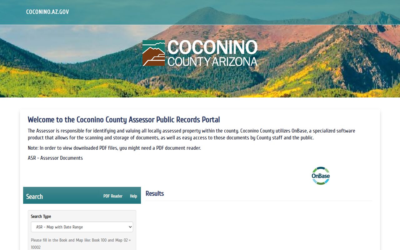
The captured assessor screen shows why a verified street address or parcel number is more precise than a guessed ZIP-wide query.
Search tip. Try both the full directional and its standard abbreviation when the Flagstaff address field returns no exact match.
Map Flagstaff ZIP Context
The Flagstaff GIS launch page links to property, planning, zoning, and other city map tools. These layers help test whether a postal address sits inside the municipal boundary and which parcel it reaches. The county parcel viewer adds another route for unincorporated areas. Map data is informational. A recorded plat or survey controls when an exact legal boundary matters.
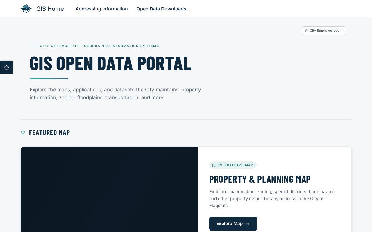
The GIS launch screen points from postal context to parcel geography without pretending that ZIP lines and city limits are the same shape.
No official per-ZIP Flagstaff population or voter totals were located. Census ZIP Code Tabulation Areas, known as ZCTAs, are statistical approximations and should not replace current USPS routes. Omitting unsupported totals is more accurate than borrowing a commercial ZIP profile.
Special Flagstaff ZIP Codes
Codes 86002 and 86003 appear in Flagstaff postal references, but the research did not verify them as residential neighborhood maps or identify a neighborhood station for either. A specific current use should be checked through USPS. By contrast, NAU clearly uses 86011 for institutional post-office addressing. The distinction matters because a code attached to an institution or processing function cannot support claims about a surrounding block.
86015 presents a different edge case. It belongs to Bellemont and the western unincorporated area, although some broad Flagstaff-area services may include it. Delivery there expanded on January 5, 2019. A Flagstaff mailing label still does not establish City of Flagstaff permit, police, or property jurisdiction. Check the parcel and agency boundary before requesting records.
Office access also depends on the question, not merely the code. USPS resolves delivery and routing. City Planning or Flagstaff GIS handles municipal address and map questions inside the city. Coconino County addressing and GIS cover unincorporated land. The Assessor ties a physical parcel to its tax record, while the Recorder follows parties and legal descriptions in land documents. Starting with the wrong office can produce a valid record for the wrong jurisdiction. Save the verified address, APN, and a map note before calling or sending a public-record request.
Note: No complete current classification for 86002 or 86003 was verified, so each address should be checked through the official USPS lookup.
Flagstaff ZIPs Versus City Limits
ZIPs route mail. They do not define Flagstaff city limits. The clearest example is 86004, which stretches into unincorporated Timberline and Doney Park while retaining Flagstaff mailing language. At the other end, 86011 lies inside Flagstaff at NAU but is not a normal neighborhood delivery slice. A record request must follow the parcel, court, or agency with jurisdiction, not the postal city printed on an envelope.
The terms below keep the layers straight when a Flagstaff ZIP code directory result is used with assessor or GIS data.
- ZIP and ZIP+4
- A ZIP is the five-digit routing area. ZIP+4 adds a smaller delivery segment, often a block, building, or group of boxes.
- PO-box ZIP
- A code used chiefly for post-office boxes rather than door-to-door neighborhood delivery.
- Unique ZIP
- A code assigned to one large institution or mail operation. NAU's 86011 is the local example.
- Carrier route
- A set of delivery points assigned to a postal carrier. It is not a city boundary or resident roll.
- ZCTA
- A Census Bureau statistical shape that approximates a ZIP area. It is not the live USPS route boundary.
A parcel number is the firm bridge between maps and tax records. If a historical street number looks wrong, compare the subdivision lot, recorded plat, cross streets, and a Sanborn map rather than inventing a Flagstaff renumbering date. No authoritative citywide renumbering year was found.