
Walk a Flagstaff Street Directory
A sound Flagstaff address search moves from the place to the parcel, and only then to people named in public records. The tax roll can establish an owner, but not every person who stays at the property. A deed identifies parties to a transaction, not a household. A directory entry reflects whoever was listed in that edition. Keeping those limits visible prevents an address lead from becoming a claim the source cannot support.
- Normalize the full address and search Coconino County Assessor Public Access. Save the parcel number, situs address, current owner, mailing address, and legal description.
- Open the Flagstaff Property and Planning Map. Find the same parcel, inspect the lots beside it, and note where city or district layers change.
- Carry the owner name, transfer date, parcel reference, and legal description into the Recorder index. Match the land description before connecting any deed to the address.
- Check city permit or code records by address. Treat an applicant or contractor as a participant in that event, not as proof of residence.
- For an older household, use a Flagstaff street-and-avenue guide, census record, or archive file. Compare the precise year and street number with the parcel trail.
The result is an evidence chain: address to parcel, parcel to owner, owner to recorded instrument, and address to a dated directory entry. It is slower than guessing from one search result, yet far more reliable. The full historical shelf belongs to the Flagstaff city directory collection; here, the reverse-address section is used only when it answers a street question.
Search Flagstaff Parcels by Address
The Assessor is the best first stop for a modern Flagstaff address search because its records connect a situs address to a parcel and tax owner. The current interface supports basic and advanced routes. Directionals, unit forms, and street abbreviations may differ from the spelling in hand, so a failed exact query is a cue to simplify the street text or try an owner or parcel number. The legacy search remains useful as a second official route.
The current Assessor search shows the address-oriented interface captured for this project.
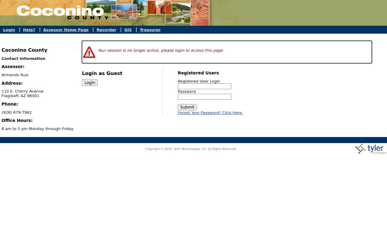
Its account links can lead to parcel detail, owner information, sale and assessment history, current taxes, attachments, and residential transfers, giving each street result a stable record context.
| Search control | Input | How it helps |
|---|---|---|
| Owner Name | Text, surname first | Finds the tax owner; try person and entity variants. |
| Property or Situs Address | Address fields | Links a physical street location to an account. |
| Parcel Number | Formatted identifier | Provides the most exact current parcel match. |
| City and ZIP | Place fields | Narrows a broad street-name result without proving jurisdiction. |
| Subdivision, lot, block, tract | Legal-location fields | Bridges an address to plats and older land records. |
| Value, class, acreage | Advanced filters | Distinguishes similar accounts; these fields do not identify occupants. |
The legacy Coconino Assessor search was also captured as an official fallback.
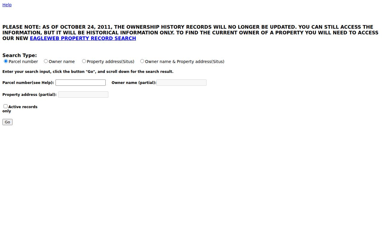
Using both official views can help when a dynamic page fails, but the returned owner is still a tax-roll fact rather than a complete resident list.
Flagstaff Street Record Terms
A few land-record terms keep Flagstaff address work precise. They separate a postal label from the land itself and explain why an old address may need more than a typed street number.
- Parcel
- A mapped unit of land with an assessor identifier. One building can involve more than one parcel, while a condominium site may contain many.
- Situs address
- The physical location assigned to the assessed parcel. It differs from the mailing address used for tax correspondence.
- Plat
- A recorded map that identifies subdivision lots, blocks, easements, and other legal layout details.
- Criss-cross directory
- A directory arranged by street or telephone number, allowing an address to lead to a listed person or business in a specific edition.
Legal descriptions endure when street labels shift. For a disputed boundary, the GIS view is informational; a recorded plat or survey controls. That distinction matters along alleys, corner lots, curved streets, large sites, and condominium parcels.
Flagstaff Records Keyed by Street
No single Flagstaff address index contains every owner and occupant. Each official source is keyed differently and answers a narrower question. The parcel number links the tax roll to mapped land. Party names and instrument numbers drive the deed index. The street address drives permits and the reverse section of selected historical directories.
| Address source | Best key | Person evidence | Channel and limit |
|---|---|---|---|
| Assessor roll | Address, owner, parcel | Tax owner and mailing destination | Free web tools; not proof of occupancy |
| City and county GIS | Address or mapped parcel | Connects location to parcel ID | Free viewer; map is not a legal survey |
| Recorder | Party, date, instrument, docket/page | Grantor, grantee, lienor, return address | Online name index from 1981; earlier books and microfilm |
| Permit or code file | Address or permit number | Owner, applicant, contractor at a dated event | Citizen Access and focused city request; exact online cutoff unverified |
| Directory street guide | Street and house number | Listed resident, business, telephone | 1929-1986 stated run with gaps; 1989 item found |
| Voter file | Authorized statutory request | Specified registration fields | Purpose-limited by Arizona law, not an open block search |
When the web route is incomplete, use the counter, phone, email, mail-copy process, library, or archive named for that record. Coconino County Recorder staff can provide plain or certified copies. Earlier index books and microfilm require office work. Arizona Public Records Law is the focused request route for an existing city or county administrative record that is not exposed in a portal.
Map Flagstaff Streets Parcel by Parcel
The exact Coconino County Parcel Viewer supports address search, layers, measurement, parcel selection, and a Parcel Report. Its public parcel layer exposes parcel number, account, situs, city, and geometry, but deliberately omits owner and mailing-address fields. Carry the parcel number back to the Assessor rather than assuming the map popup is a resident record.
Pan along the named street and click each parcel polygon in sequence. Visual neighbors can differ from house-number neighbors due to an alley, corner frontage, common tract, vacant lot, or condominium layout. Zoning, floodplain, transportation, and district layers add geographic context. They do not name people.
Note: Record parcel IDs before leaving the map, since a street label alone is too weak for a deed or boundary match.
Translate Flagstaff Addresses Into Deeds
The Recorder has no universal address-history button. Start with the current owner and legal description from the Assessor, then search the legacy Recorder index by party. Names use surname-first formatting without a comma. An approximate transaction date, document type, subdivision, lot, block, tract, or docket and page can narrow the results. Parcel searching appears in parts of the interface, but county guidance warns that it is limited.
The official legacy grantor-grantee interface shows why Flagstaff address records must be translated into names and legal land details before searching.
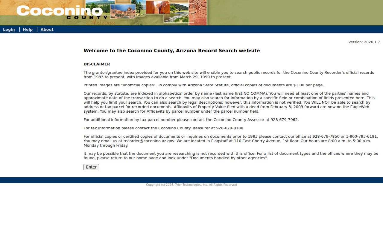
A result can expose indexed party roles, document type, recording date, document number or docket/page, and an image link. The image may add vesting, legal description, notarization, return address, and related instruments.
The county describes public name indexing from January 1981, while this older portal states January 1983. Both routes agree that most linked PDF images are available from March 29, 1999. Do not force a hard answer for 1981-82. Call the Coconino County Recorder at 928-679-7850, email recorder@coconino.az.gov, or visit 110 E Cherry Avenue during posted weekday hours. Copies may be ordered online, by mail, or in person; plain copies cost $1 per page and certification adds $3 per document.
Flagstaff Permits Add Building Dates
Permit and code files add a dated event to an address trail. A record may show the owner at filing, applicant, contractor, work scope, stated value, issue or final date, and inspection events. Those names describe the project. They do not establish who lived in the building, and the research did not establish a dependable first year for the online permit set.
The Flagstaff Citizen Access portal supplies the official permit and address search captured here.
If the needed event is absent, submit a focused City public-record request with the address, permit number if known, record type, and date range. Code-enforcement material may be redacted when privacy or an active matter requires it.
Flagstaff Street and ZIP Boundaries
A Flagstaff mailing label does not prove that a parcel lies inside city limits. ZIP 86004 extends into unincorporated Timberline and Doney Park areas, while 86015 serves Bellemont and a broader western unincorporated area. NAU's 86011 is an institutional PO-box ZIP rather than a neighborhood band. The correct records office follows the parcel and agency jurisdiction, not merely the postal city.
Use USPS for deliverability, the Assessor for situs and parcel facts, and city or county GIS for jurisdiction. Census ZCTAs are statistical approximations, not live postal routes. When an old number does not map cleanly, compare its lot, subdivision plat, Sanborn sheet, and nearby cross streets. No authoritative citywide Flagstaff renumbering year was found, so assigning one would be false precision.
Voter Data Is Not Street Directory
The Arizona Voter Information Portal is an authenticated self-lookup. It is not a public tool for typing a Flagstaff street and displaying residents. A.R.S. §16-168 governs requests for voter-file data and permits specified political, election, redistricting, or other expressly authorized statutory uses. It also withholds sensitive identity fields and shields protected voters.
The Arizona voter-file statute is the source for those limits, and the captured page makes the permitted-use boundary visible.
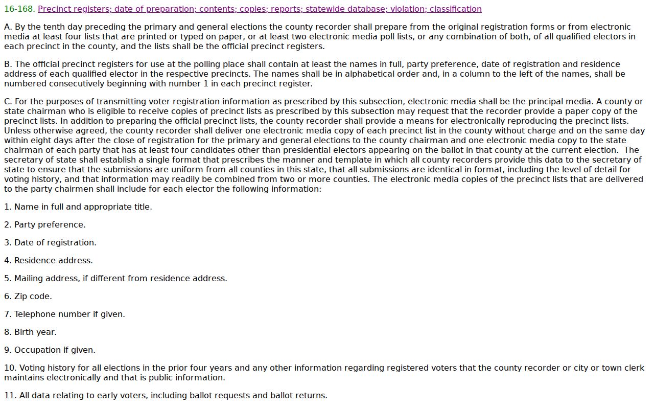
Ordinary address research should stay with parcels, deeds, permits, and historical directories. The statute is a reason not to describe a voter roll as a free Flagstaff street browser.
Read Old Flagstaff Streets Carefully
Flagstaff directories state a 1929-1986 run with missing years, and catalog work found a 1989 item. A Street and Avenue Guide can lead from a house number to a listed resident, business, or telephone. Coverage differs by edition and may extend to Grand Canyon, Williams, Winslow, Sedona, or Oak Creek, so the printed heading must be checked before an entry is treated as Flagstaff.
OCR can distort initials, two-surname names, spouse parentheses, and street abbreviations. Verify the scanned page. A nearby line or shared surname does not establish a household. Sanborn maps can bridge missing directory years by showing the lot, building form, use, and street-number context, but they do not name every occupant.
Flagstaff Records Move Online
Coconino County's 2023-25 preservation effort targeted 1.9 million microfilm images and 420 vault books, backed by a $1 million federal grant and a $507,849 county match. The work included historic-book scanning, microfilm transfer, server and disaster-recovery improvements, and eventual web access to the county's historic recorded documents. In May 2025, the Recorder reported continued scanning and a new Archives Technician.
This work makes a fixed online cutoff a dated observation rather than a permanent rule. Recheck the county index before assuming an older document remains offline. Until it appears, the Recorder's alphabetical books, microfilm, docket/page references, phone, mail, and counter service remain part of a complete address search.
Limits of Flagstaff Street Records
Public address sources do not reliably identify unlisted renters, minors, every household member, utility customers, delivery data, or a person's physical presence on a given day. Driver-address information is restricted by federal law. Arizona's Address Confidentiality Program and other redaction procedures can intentionally remove or substitute addresses for people at risk. An apparent gap can therefore reflect privacy protection, not a search failure.
Mailing and situs fields deserve special care. The tax mailing address is where correspondence goes. It may point to a PO box, entity, manager, or owner elsewhere. The situs is the parcel's physical address. Even when the two match, that fact supports an ownership clue but cannot prove the full household.
Lawful use. Use Flagstaff address records for lawful property, family, civic, or historical research. Never use directory records to stalk, harass, threaten, or expose a protected person.